Middlemore
Introduction
The photograph on this page of Middlemore by Stephen McKay as part of the Geograph project.
The Geograph project started in 2005 with the aim of publishing, organising and preserving representative images for every square kilometre of Great Britain, Ireland and the Isle of Man.

There are currently over 7.5m images from over 14,400 individuals and you can help contribute to the project by visiting https://www.geograph.org.uk
Middlemore
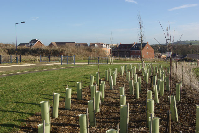
Image: © Stephen McKay Taken: 6 Jan 2008
Considerable efforts are being made here to ensure that this new estate will have plenty of trees. The houses are gradually encroaching although they haven't yet reached this far. Middlemore is built on a hillside to the north of Daventry; from this point the land falls away to Drayton Reservoir.
Images are licensed for reuse under creativecommons.org/licenses/by-sa/2.0
Image Location
Latitude
52.279363
Longitude
-1.175023