Birkheads Road
Introduction
The photograph on this page of Birkheads Road by Ian Capper as part of the Geograph project.
The Geograph project started in 2005 with the aim of publishing, organising and preserving representative images for every square kilometre of Great Britain, Ireland and the Isle of Man.

There are currently over 7.5m images from over 14,400 individuals and you can help contribute to the project by visiting https://www.geograph.org.uk
Birkheads Road
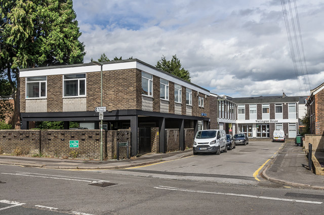
Image: © Ian Capper Taken: 28 Jun 2020
A short stub of Birkheads Road to the east of Alma Road (in the foreground). The offices on the left are on the site of what the 1896 1:2,500 map marks as a "lecture room", but shown on the 1963 1:2,500 map as St Mark's Church Hall.
Images are licensed for reuse under creativecommons.org/licenses/by-sa/2.0
Image Location
Latitude
51.242613
Longitude
-0.20261