St Michel's Parkland
Introduction
The photograph on this page of St Michel's Parkland by Glyn Baker as part of the Geograph project.
The Geograph project started in 2005 with the aim of publishing, organising and preserving representative images for every square kilometre of Great Britain, Ireland and the Isle of Man.

There are currently over 7.5m images from over 14,400 individuals and you can help contribute to the project by visiting https://www.geograph.org.uk
St Michel's Parkland
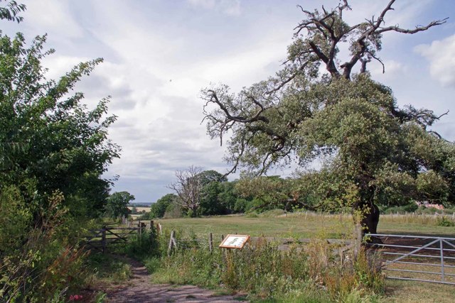
Image: © Glyn Baker Taken: 3 Jul 2020
A public open space once the Park of Michelstowe Hall a medieval Manor demolished in the nineteenth century see the Image
Images are licensed for reuse under creativecommons.org/licenses/by-sa/2.0
Image Location
Latitude
51.928502
Longitude
1.225641