The A422 east of Banbury
Introduction
The photograph on this page of The A422 east of Banbury by Bill Boaden as part of the Geograph project.
The Geograph project started in 2005 with the aim of publishing, organising and preserving representative images for every square kilometre of Great Britain, Ireland and the Isle of Man.

There are currently over 7.5m images from over 14,400 individuals and you can help contribute to the project by visiting https://www.geograph.org.uk
The A422 east of Banbury
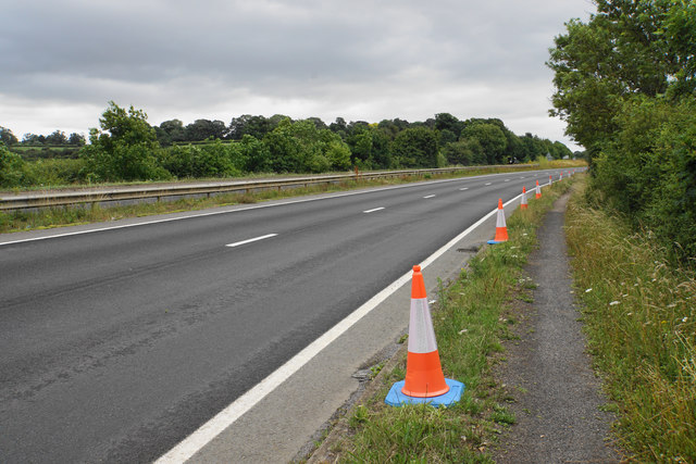
Image: © Bill Boaden Taken: 3 Jul 2020
Mainly looking at the westbound carriageway of a dual carriageway. I am not sure of the purpose of the cones. I am pleased that this road makes provision for pedestrians.
Images are licensed for reuse under creativecommons.org/licenses/by-sa/2.0
Image Location
Latitude
52.072274
Longitude
-1.30957