Screen on brook under Maidenbower Drive
Introduction
The photograph on this page of Screen on brook under Maidenbower Drive by Robin Webster as part of the Geograph project.
The Geograph project started in 2005 with the aim of publishing, organising and preserving representative images for every square kilometre of Great Britain, Ireland and the Isle of Man.

There are currently over 7.5m images from over 14,400 individuals and you can help contribute to the project by visiting https://www.geograph.org.uk
Screen on brook under Maidenbower Drive
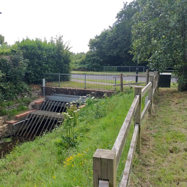
Image: © Robin Webster Taken: 5 Jul 2020
There is some sort of monitoring system fitted, but it is not on the list of EA transmitting stations, so what is it for? Detecting screen blockage?
Images are licensed for reuse under creativecommons.org/licenses/by-sa/2.0
Image Location
Latitude
51.108269
Longitude
-0.148528