Footpaths off Northfields, Ashby-de-la-Zouch
Introduction
The photograph on this page of Footpaths off Northfields, Ashby-de-la-Zouch by Oliver Mills as part of the Geograph project.
The Geograph project started in 2005 with the aim of publishing, organising and preserving representative images for every square kilometre of Great Britain, Ireland and the Isle of Man.

There are currently over 7.5m images from over 14,400 individuals and you can help contribute to the project by visiting https://www.geograph.org.uk
Footpaths off Northfields, Ashby-de-la-Zouch
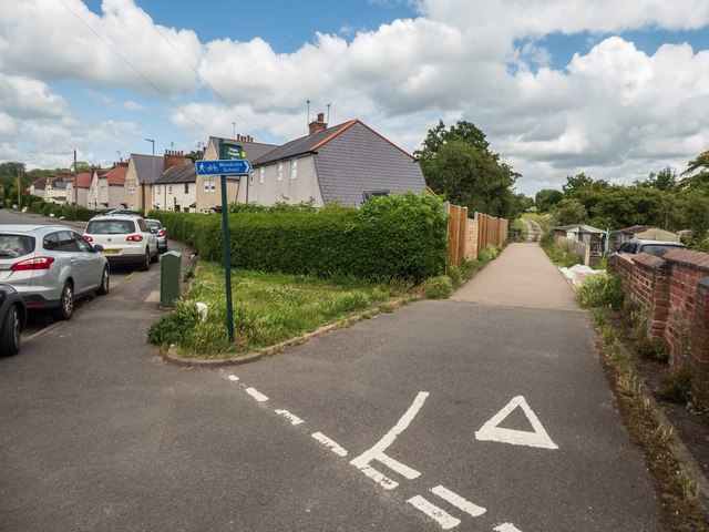
Image: © Oliver Mills Taken: 6 Jul 2020
An early 20th Century housing estate, positioned at an angle from the connecting Smisby Road to give way for the now-demolished railway. Down the lane to the right, turning right gives access to a cycle route into Ashby, and turning left leads along a footpath towards Cliftonthorpe. The farm track ahead is private, leading to Money Hill Farm.
Images are licensed for reuse under creativecommons.org/licenses/by-sa/2.0
Image Location
Latitude
52.755388
Longitude
-1.474701