Moorfield Grange, Headingley from Moor Road
Introduction
The photograph on this page of Moorfield Grange, Headingley from Moor Road by Stephen Craven as part of the Geograph project.
The Geograph project started in 2005 with the aim of publishing, organising and preserving representative images for every square kilometre of Great Britain, Ireland and the Isle of Man.

There are currently over 7.5m images from over 14,400 individuals and you can help contribute to the project by visiting https://www.geograph.org.uk
Moorfield Grange, Headingley from Moor Road
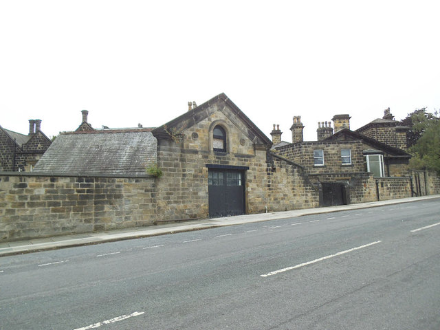
Image: © Stephen Craven Taken: 3 Jul 2020
Older maps name the property as Moorham. The main house Image and its outbuildings have recently been converted to fifteen separate houses and flats marketed under the name "Spinning Acres". This outbuilding appears to have been a garage.
Images are licensed for reuse under creativecommons.org/licenses/by-sa/2.0
Image Location
Latitude
53.826902
Longitude
-1.577162