Part of benchmark on Lumb Lane wall near Westgate junction
Introduction
The photograph on this page of Part of benchmark on Lumb Lane wall near Westgate junction by Roger Templeman as part of the Geograph project.
The Geograph project started in 2005 with the aim of publishing, organising and preserving representative images for every square kilometre of Great Britain, Ireland and the Isle of Man.

There are currently over 7.5m images from over 14,400 individuals and you can help contribute to the project by visiting https://www.geograph.org.uk
Part of benchmark on Lumb Lane wall near Westgate junction
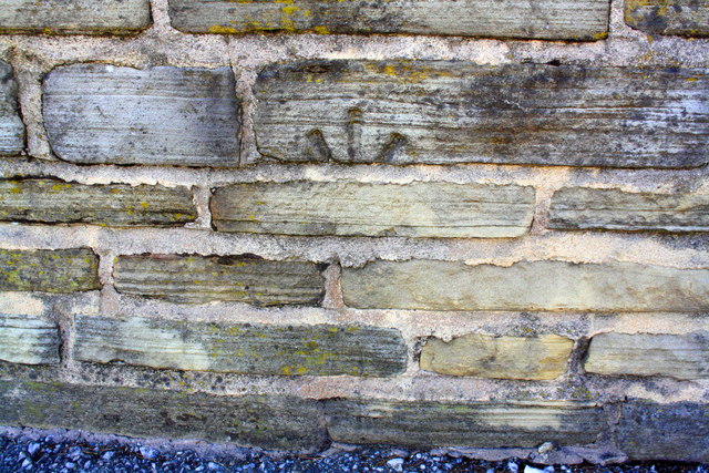
Image: © Roger Templeman Taken: 17 Jun 2017
The stone with the mark has presumably been relocated from elsewhere. The cut mark benchmark is described on the Bench Mark Database at www.bench-marks.org.uk/bm57434
Images are licensed for reuse under creativecommons.org/licenses/by-sa/2.0
Image Location
Latitude
53.797569
Longitude
-1.761611