Mark Street
Introduction
The photograph on this page of Mark Street by Ian Capper as part of the Geograph project.
The Geograph project started in 2005 with the aim of publishing, organising and preserving representative images for every square kilometre of Great Britain, Ireland and the Isle of Man.

There are currently over 7.5m images from over 14,400 individuals and you can help contribute to the project by visiting https://www.geograph.org.uk
Mark Street
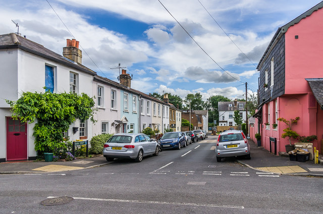
Image: © Ian Capper Taken: 28 Jun 2020
Victorian terraced housing off Warren Street, shown on the 1872 1:500 map. Mark Street is essentially a cul-de-sac, although a very narrow extension at the end leads through to Holmesdale Road in the background. The building on the right is The Old Brewery, originally the Warren Arms, ceasing as such c1914.
Images are licensed for reuse under creativecommons.org/licenses/by-sa/2.0
Image Location
Latitude
51.242159
Longitude
-0.199992