Manchester Royal Infirmary
Introduction
The photograph on this page of Manchester Royal Infirmary by Peter McDermott as part of the Geograph project.
The Geograph project started in 2005 with the aim of publishing, organising and preserving representative images for every square kilometre of Great Britain, Ireland and the Isle of Man.

There are currently over 7.5m images from over 14,400 individuals and you can help contribute to the project by visiting https://www.geograph.org.uk
Manchester Royal Infirmary
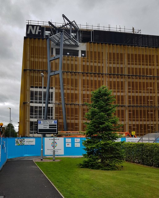
Image: © Peter McDermott Taken: 3 Jul 2020
New walkway being constructed to link the new helipad on the roof of the Grafton Street Car Park to the main hospital building. See also Image
Images are licensed for reuse under creativecommons.org/licenses/by-sa/2.0
Image Location
Latitude
53.462867
Longitude
-2.22815