The Grange, Bourton
Introduction
The photograph on this page of The Grange, Bourton by Des Blenkinsopp as part of the Geograph project.
The Geograph project started in 2005 with the aim of publishing, organising and preserving representative images for every square kilometre of Great Britain, Ireland and the Isle of Man.

There are currently over 7.5m images from over 14,400 individuals and you can help contribute to the project by visiting https://www.geograph.org.uk
The Grange, Bourton
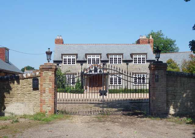
Image: © Des Blenkinsopp Taken: 24 Jun 2020
A large house and other accommodation on three sides of a gated courtyard. The name is on a stone to the left of the gate.
Images are licensed for reuse under creativecommons.org/licenses/by-sa/2.0
Image Location
Latitude
51.57723
Longitude
-1.65939