Direction Sign ? Signpost
Introduction
The photograph on this page of Direction Sign ? Signpost by A Lloyd as part of the Geograph project.
The Geograph project started in 2005 with the aim of publishing, organising and preserving representative images for every square kilometre of Great Britain, Ireland and the Isle of Man.

There are currently over 7.5m images from over 14,400 individuals and you can help contribute to the project by visiting https://www.geograph.org.uk
Direction Sign ? Signpost
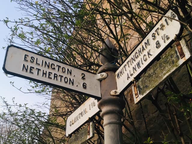
Image: © A Lloyd Taken: 26 Feb 2019
Located against a cottage wall on the east side of a T junction in the village in Whittingham parish. 3 arms and cone in cup finial. See also https://www.geograph.org.uk/photo/3055699. Milestone Society National ID: NB_NU0612
Images are licensed for reuse under creativecommons.org/licenses/by-sa/2.0
Image Location


Leaflet Map data © OpenStreetMap
Latitude
55.402028
Longitude
-1.891728