Ridge and furrow in Hauxwell Park
Introduction
The photograph on this page of Ridge and furrow in Hauxwell Park by Gordon Hatton as part of the Geograph project.
The Geograph project started in 2005 with the aim of publishing, organising and preserving representative images for every square kilometre of Great Britain, Ireland and the Isle of Man.

There are currently over 7.5m images from over 14,400 individuals and you can help contribute to the project by visiting https://www.geograph.org.uk
Ridge and furrow in Hauxwell Park
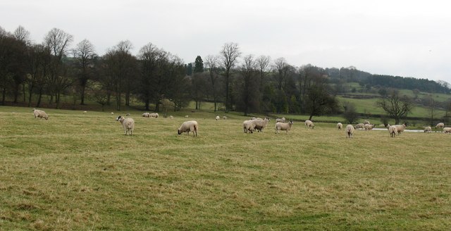
Image: © Gordon Hatton Taken: 4 Jan 2008
Country house parklands are often a good place to find medieval ridge and furrow, the ground having been left largely undisturbed for hundreds of years. Hauxwell village once stood in this area close to the church, but after an outbreak of plague, moved up the hill.
Images are licensed for reuse under creativecommons.org/licenses/by-sa/2.0
Image Location
Latitude
54.335359
Longitude
-1.748364