Criftins Parish Hall
Introduction
The photograph on this page of Criftins Parish Hall by John H Darch as part of the Geograph project.
The Geograph project started in 2005 with the aim of publishing, organising and preserving representative images for every square kilometre of Great Britain, Ireland and the Isle of Man.

There are currently over 7.5m images from over 14,400 individuals and you can help contribute to the project by visiting https://www.geograph.org.uk
Criftins Parish Hall
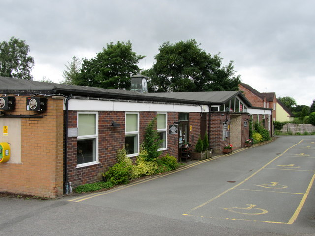
Image: © John H Darch Taken: 3 Jul 2020
Includes a community pub, Post Office and sports facilities.
Images are licensed for reuse under creativecommons.org/licenses/by-sa/2.0
Image Location
Latitude
52.92418
Longitude
-2.938392