Shermanbury Church
Introduction
The photograph on this page of Shermanbury Church by Chris Thomas-Atkin as part of the Geograph project.
The Geograph project started in 2005 with the aim of publishing, organising and preserving representative images for every square kilometre of Great Britain, Ireland and the Isle of Man.

There are currently over 7.5m images from over 14,400 individuals and you can help contribute to the project by visiting https://www.geograph.org.uk
Shermanbury Church
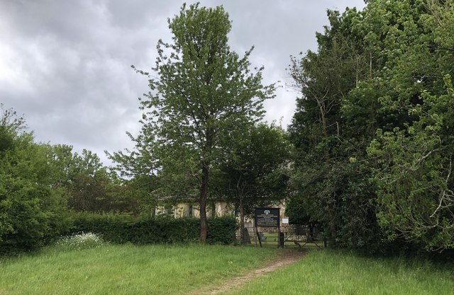
Image: © Chris Thomas-Atkin Taken: 8 Jun 2020
A glimpse of the Parish Church of Saint Giles next to Shermanbury Place. The church is a grade II* listed building. See https://historicengland.org.uk/listing/the-list/list-entry/1194079
Images are licensed for reuse under creativecommons.org/licenses/by-sa/2.0
Image Location
Latitude
50.956117
Longitude
-0.272621