Rowing Boat On The River Wansbeck, Morpeth
Introduction
The photograph on this page of Rowing Boat On The River Wansbeck, Morpeth by Geoff Holland as part of the Geograph project.
The Geograph project started in 2005 with the aim of publishing, organising and preserving representative images for every square kilometre of Great Britain, Ireland and the Isle of Man.

There are currently over 7.5m images from over 14,400 individuals and you can help contribute to the project by visiting https://www.geograph.org.uk
Rowing Boat On The River Wansbeck, Morpeth
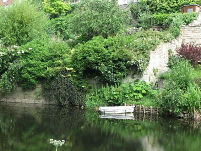
Image: © Geoff Holland Taken: 2 Jul 2020
This stretch of the River Wansbeck was named as 'Horse Hole' on the first Ordnance Survey Six-Inch map of the area published in 1866. However, by the time of the publication of the next edition of the map in 1898, this name had disappeared from the map.
Images are licensed for reuse under creativecommons.org/licenses/by-sa/2.0
Image Location
Latitude
55.169905
Longitude
-1.69369