Lower end of Church Street, Castleside
Introduction
The photograph on this page of Lower end of Church Street, Castleside by Robert Graham as part of the Geograph project.
The Geograph project started in 2005 with the aim of publishing, organising and preserving representative images for every square kilometre of Great Britain, Ireland and the Isle of Man.

There are currently over 7.5m images from over 14,400 individuals and you can help contribute to the project by visiting https://www.geograph.org.uk
Lower end of Church Street, Castleside
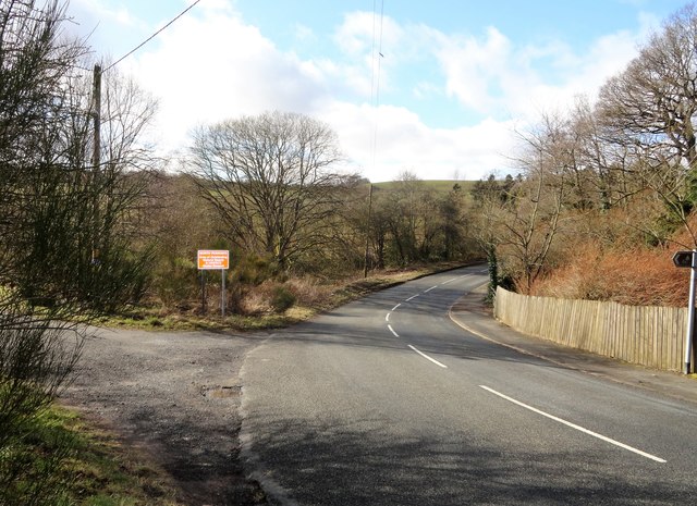
Image: © Robert Graham Taken: 16 Mar 2020
The road here goes up the bank on the other side and joins Healeyfield Lane. This is the main route westwards from the village to Stanhope and Weardale. The track on the left was once the entrance to the lead smelting works, closed shortly after WW2 I believe.
Images are licensed for reuse under creativecommons.org/licenses/by-sa/2.0
Image Location
Latitude
54.830017
Longitude
-1.882286