Field, Canterbury Road
Introduction
The photograph on this page of Field, Canterbury Road by John Baker as part of the Geograph project.
The Geograph project started in 2005 with the aim of publishing, organising and preserving representative images for every square kilometre of Great Britain, Ireland and the Isle of Man.

There are currently over 7.5m images from over 14,400 individuals and you can help contribute to the project by visiting https://www.geograph.org.uk
Field, Canterbury Road
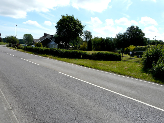
Image: © John Baker Taken: 14 Jun 2020
Planning permission has been granted by Canterbury City Council under application number 19/00462 for the “erection of a detached dwelling, formation of new vehicle access and parking”. The planning notice has been affixed to the gate. A house named Image was subsequently built on the site.
Images are licensed for reuse under creativecommons.org/licenses/by-sa/2.0
Image Location
Latitude
51.270004
Longitude
1.20294