Castleside crossroads
Introduction
The photograph on this page of Castleside crossroads by Robert Graham as part of the Geograph project.
The Geograph project started in 2005 with the aim of publishing, organising and preserving representative images for every square kilometre of Great Britain, Ireland and the Isle of Man.

There are currently over 7.5m images from over 14,400 individuals and you can help contribute to the project by visiting https://www.geograph.org.uk
Castleside crossroads
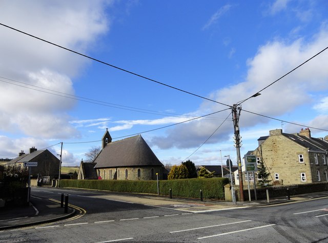
Image: © Robert Graham Taken: 16 Mar 2020
This is the centre of the village, where the road from Consett crosses the main A68, running left to right here. Across the road is the village church of St John the Evangelist, dating from 1867.
Images are licensed for reuse under creativecommons.org/licenses/by-sa/2.0
Image Location
Latitude
54.83343
Longitude
-1.880564