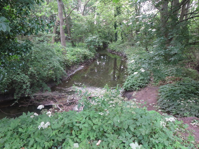
Sharp Bend In The Seaton Burn Near Middle Farm
Introduction
The photograph on this page of Sharp Bend In The Seaton Burn Near Middle Farm by Geoff Holland as part of the Geograph project.
The Geograph project started in 2005 with the aim of publishing, organising and preserving representative images for every square kilometre of Great Britain, Ireland and the Isle of Man.
There are currently over 7.5m images from over 14,400 individuals and you can help contribute to the project by visiting https://www.geograph.org.uk

Image: © Geoff Holland Taken: 30 Jun 2020
At this point, the Seaton Burn makes a 90 degree turn in its course from a northerly direction to an easterly direction. As a consequence, a considerable amount of water borne woody debris, such as logs, sticks and branches, is likely to collect where the burn turns. For a selection of detailed free to download walking routes in the area visit www.northtynesidewalks.co.uk

