Track Near Mare Close, Seghill
Introduction
The photograph on this page of Track Near Mare Close, Seghill by Geoff Holland as part of the Geograph project.
The Geograph project started in 2005 with the aim of publishing, organising and preserving representative images for every square kilometre of Great Britain, Ireland and the Isle of Man.

There are currently over 7.5m images from over 14,400 individuals and you can help contribute to the project by visiting https://www.geograph.org.uk
Track Near Mare Close, Seghill
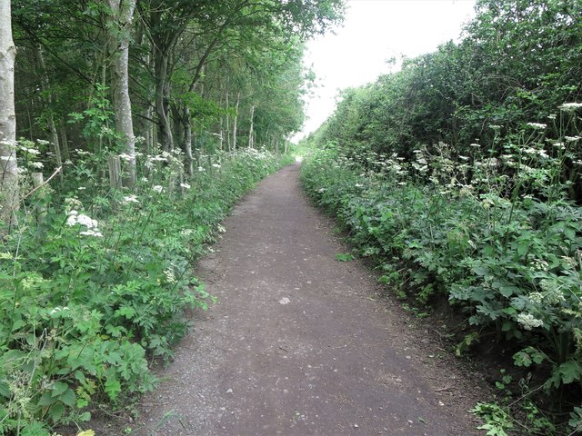
Image: © Geoff Holland Taken: 30 Jun 2020
This track, whilst not shown on the Ordnance Survey map of the area as a designated public footpath or bridleway, it is most certainly used as such, and has existed in this location for more than 170 years. It is used as a recreational link between the Seaton Delaval to Seghill road (A190) and the spider's web of footpaths and tracks to the north and west. For a selection of detailed free to download walking routes in the area visit www.northtynesidewalks.co.uk
Images are licensed for reuse under creativecommons.org/licenses/by-sa/2.0
Image Location
Latitude
55.068887
Longitude
-1.545073