Signage At Railway Crossing Near Mare Close, Seghill
Introduction
The photograph on this page of Signage At Railway Crossing Near Mare Close, Seghill by Geoff Holland as part of the Geograph project.
The Geograph project started in 2005 with the aim of publishing, organising and preserving representative images for every square kilometre of Great Britain, Ireland and the Isle of Man.

There are currently over 7.5m images from over 14,400 individuals and you can help contribute to the project by visiting https://www.geograph.org.uk
Signage At Railway Crossing Near Mare Close, Seghill
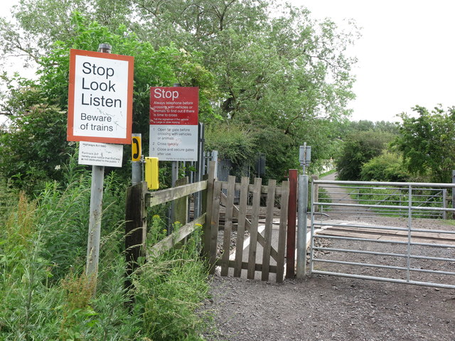
Image: © Geoff Holland Taken: 30 Jun 2020
At this point the track, which has existed here for more than 170 years, crosses the mineral railway shown at https://www.geograph.org.uk/photo/6524298. As with all such crossings there is a plethora of warning notices. For a selection of detailed free to download walking routes in the area visit www.northtynesidewalks.co.uk
Images are licensed for reuse under creativecommons.org/licenses/by-sa/2.0
Image Location
Latitude
55.069065
Longitude
-1.544444