Footbridge Over the Seaton Burn Near Mare Close Farm, Seghill
Introduction
The photograph on this page of Footbridge Over the Seaton Burn Near Mare Close Farm, Seghill by Geoff Holland as part of the Geograph project.
The Geograph project started in 2005 with the aim of publishing, organising and preserving representative images for every square kilometre of Great Britain, Ireland and the Isle of Man.

There are currently over 7.5m images from over 14,400 individuals and you can help contribute to the project by visiting https://www.geograph.org.uk
Footbridge Over the Seaton Burn Near Mare Close Farm, Seghill
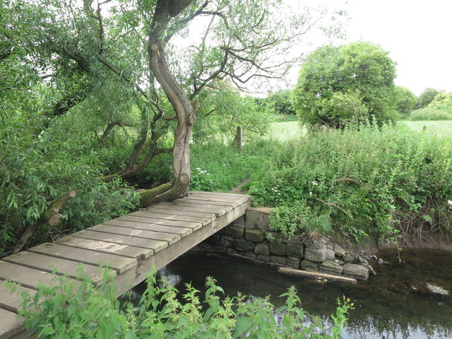
Image: © Geoff Holland Taken: 30 Jun 2020
This simple footbridge serves as a link between the housing estate on one side of the burn (south) and the various paths and tracks on the other side (north). Whilst a footbridge has existed in this location for more than 100 years, the footpaths on either side are not designated public footpaths although they are used by custom as such. For a selection of detailed free to download walking routes in the area visit www.northtynesidewalks.co.uk
Images are licensed for reuse under creativecommons.org/licenses/by-sa/2.0
Image Location
Latitude
55.067623
Longitude
-1.543365