Crossroads on Main Street/Belvoir Road
Introduction
The photograph on this page of Crossroads on Main Street/Belvoir Road by Andrew Tatlow as part of the Geograph project.
The Geograph project started in 2005 with the aim of publishing, organising and preserving representative images for every square kilometre of Great Britain, Ireland and the Isle of Man.

There are currently over 7.5m images from over 14,400 individuals and you can help contribute to the project by visiting https://www.geograph.org.uk
Crossroads on Main Street/Belvoir Road
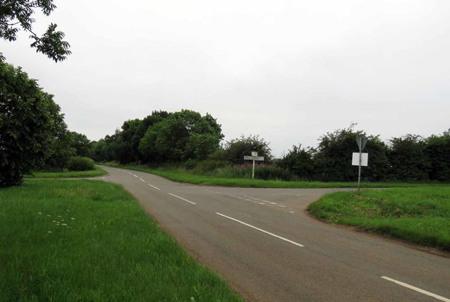
Image: © Andrew Tatlow Taken: 26 Jun 2019
The photograph is taken on Main Street from Eastwell, to the right is Main Street from Eaton and Belvoir Road is straight on. The road to the left appears to be unnamed; nearer to Stathern it runs into Mill Hill and then becomes yet another Main Street!
Images are licensed for reuse under creativecommons.org/licenses/by-sa/2.0
Image Location
Latitude
52.857462
Longitude
-0.834137