Improvised quarry
Introduction
The photograph on this page of Improvised quarry by Bill Harrison as part of the Geograph project.
The Geograph project started in 2005 with the aim of publishing, organising and preserving representative images for every square kilometre of Great Britain, Ireland and the Isle of Man.

There are currently over 7.5m images from over 14,400 individuals and you can help contribute to the project by visiting https://www.geograph.org.uk
Improvised quarry
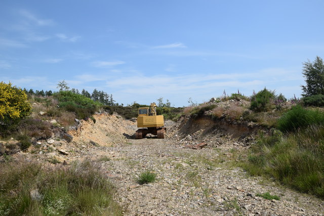
Image: © Bill Harrison Taken: 26 Jun 2020
The stone has evidently been used to make a forestry track to aid in the clear felling of part of Boghead Wood.
Images are licensed for reuse under creativecommons.org/licenses/by-sa/2.0
Image Location
Latitude
57.258477
Longitude
-2.487654