The Old Schoolhouse, Fetternear
Introduction
The photograph on this page of The Old Schoolhouse, Fetternear by Bill Harrison as part of the Geograph project.
The Geograph project started in 2005 with the aim of publishing, organising and preserving representative images for every square kilometre of Great Britain, Ireland and the Isle of Man.

There are currently over 7.5m images from over 14,400 individuals and you can help contribute to the project by visiting https://www.geograph.org.uk
The Old Schoolhouse, Fetternear
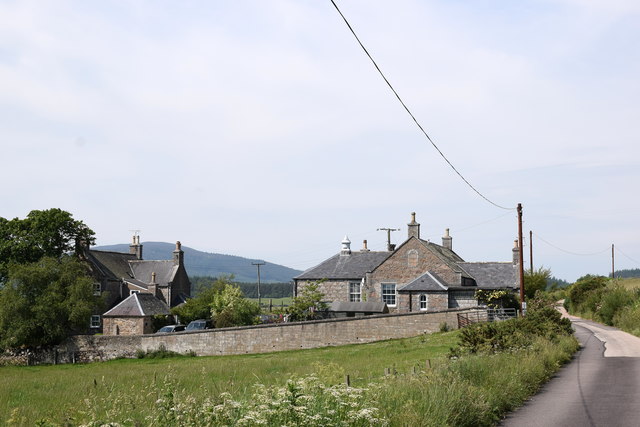
Image: © Bill Harrison Taken: 26 Jun 2020
The school is shown on the 1866 OS 25-inch map, where it is called 'Madras School'. It closed in the 1960s and is now converted to residential use.
Images are licensed for reuse under creativecommons.org/licenses/by-sa/2.0
Image Location
Latitude
57.254734
Longitude
-2.479815