Flats, Derby Street, Newcastle upon Tyne
Introduction
The photograph on this page of Flats, Derby Street, Newcastle upon Tyne by Graham Robson as part of the Geograph project.
The Geograph project started in 2005 with the aim of publishing, organising and preserving representative images for every square kilometre of Great Britain, Ireland and the Isle of Man.

There are currently over 7.5m images from over 14,400 individuals and you can help contribute to the project by visiting https://www.geograph.org.uk
Flats, Derby Street, Newcastle upon Tyne
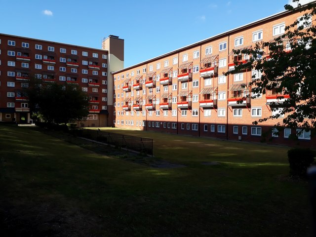
Image: © Graham Robson Taken: 6 Jun 2020
One wing of a complex of flats which occupy the triangle of land bounded by Derby Street, Stanhope Street and Barrack Road.
Images are licensed for reuse under creativecommons.org/licenses/by-sa/2.0
Image Location
Latitude
54.975982
Longitude
-1.628144