2008 : High Street, Rode (2)
Introduction
The photograph on this page of 2008 : High Street, Rode (2) by Maurice Pullin as part of the Geograph project.
The Geograph project started in 2005 with the aim of publishing, organising and preserving representative images for every square kilometre of Great Britain, Ireland and the Isle of Man.

There are currently over 7.5m images from over 14,400 individuals and you can help contribute to the project by visiting https://www.geograph.org.uk
2008 : High Street, Rode (2)
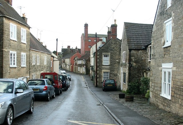
Image: © Maurice Pullin Taken: 5 Jan 2008
Entering Rode from the south west and looking along High Street a prominent feature is the red brick maltings of the former brewery of H.H.& S. Fussells, a major industry in the village following the collapse of the wool trade.
Images are licensed for reuse under creativecommons.org/licenses/by-sa/2.0
Image Location
Latitude
51.283177
Longitude
-2.282987