Whitby Crescent, Longbenton
Introduction
The photograph on this page of Whitby Crescent, Longbenton by Graham Robson as part of the Geograph project.
The Geograph project started in 2005 with the aim of publishing, organising and preserving representative images for every square kilometre of Great Britain, Ireland and the Isle of Man.

There are currently over 7.5m images from over 14,400 individuals and you can help contribute to the project by visiting https://www.geograph.org.uk
Whitby Crescent, Longbenton
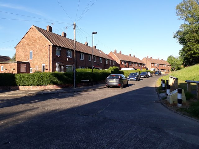
Image: © Graham Robson Taken: 1 Jun 2020
Terraced houses in Longbenton close to the Four Lane Ends public transport interchange.
Images are licensed for reuse under creativecommons.org/licenses/by-sa/2.0
Image Location
Latitude
55.011498
Longitude
-1.579185