Northbourne: Hogue Avenue
Introduction
The photograph on this page of Northbourne: Hogue Avenue by Chris Downer as part of the Geograph project.
The Geograph project started in 2005 with the aim of publishing, organising and preserving representative images for every square kilometre of Great Britain, Ireland and the Isle of Man.

There are currently over 7.5m images from over 14,400 individuals and you can help contribute to the project by visiting https://www.geograph.org.uk
Northbourne: Hogue Avenue
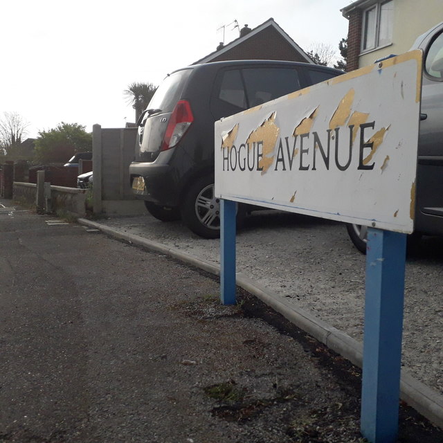
Image: © Chris Downer Taken: 13 Apr 2020
Part of a small layout of roads resembling a fork, Hogue Avenue being the horizontal that holds the three tines of the fork: Ferncroft Road, Ashridge Avenue and Pinewood Avenue. Dudley Road finishes the cutlery analogy by providing the handle, slightly offset from centre. This sign faces down Ashridge Avenue and is of a design that became prevalent in Bournemouth around 1990 and was in use for most of that decade. Many are starting to look a bit shabby now, and this one is a prime example of both afflictions: the blue border fading and the white surface unpeeling. This is photo no.201 of a series of 453 in my coronavirus lockdown walking project: See https://www.geograph.org.uk/article/My-2020-Coronavirus-Lockdown-walking-project for the complete set of photos.
Images are licensed for reuse under creativecommons.org/licenses/by-sa/2.0
Image Location
Latitude
50.765608
Longitude
-1.890908