
Small Pond at Site of Disused Hermand Quarry
Introduction
The photograph on this page of Small Pond at Site of Disused Hermand Quarry by Ian Dodds as part of the Geograph project.
The Geograph project started in 2005 with the aim of publishing, organising and preserving representative images for every square kilometre of Great Britain, Ireland and the Isle of Man.

There are currently over 7.5m images from over 14,400 individuals and you can help contribute to the project by visiting https://www.geograph.org.uk
Small Pond at Site of Disused Hermand Quarry
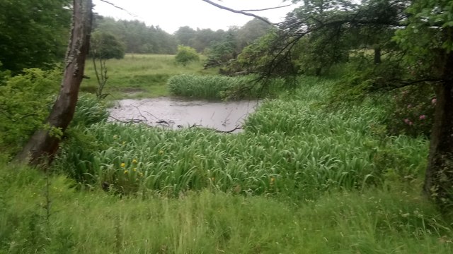
Image: © Ian Dodds Taken: 28 Jun 2020
Described as a sandstone quarry on earliest 1853 OS map of area. Two ponds appear on the 1890s map, so definitely a result of quarrying. On internet-only biggest scale map of today the two ponds show as one larger pond, but I could only see the larger Northern pond. The Southern smaller pond, in exact place shown on the 1890s map is a small steep hollow and so many overgrown bushes there unable to see if any water still there, but seems unlikely.
Images are licensed for reuse under creativecommons.org/licenses/by-sa/2.0
Image Location

Latitude
55.854902
Longitude
-3.551085