Wheatfield off Cinder Lane
Introduction
The photograph on this page of Wheatfield off Cinder Lane by Stephen Craven as part of the Geograph project.
The Geograph project started in 2005 with the aim of publishing, organising and preserving representative images for every square kilometre of Great Britain, Ireland and the Isle of Man.

There are currently over 7.5m images from over 14,400 individuals and you can help contribute to the project by visiting https://www.geograph.org.uk
Wheatfield off Cinder Lane
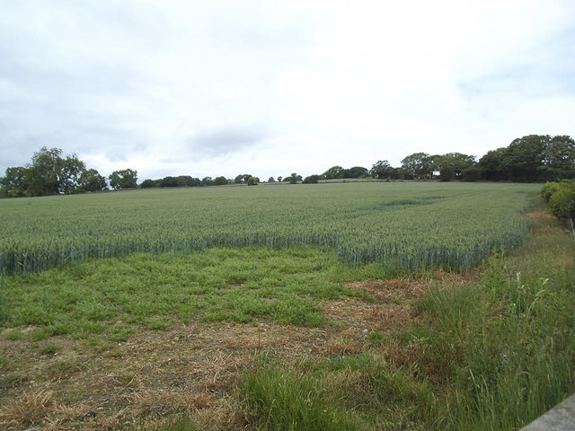
Image: © Stephen Craven Taken: 23 Jun 2020
A field of about 3 hectares on gently sloping land on the east side of the Washburn Valley.
Images are licensed for reuse under creativecommons.org/licenses/by-sa/2.0
Image Location
Latitude
53.930868
Longitude
-1.654091