Building on south side of Emm Lane
Introduction
The photograph on this page of Building on south side of Emm Lane by Roger Templeman as part of the Geograph project.
The Geograph project started in 2005 with the aim of publishing, organising and preserving representative images for every square kilometre of Great Britain, Ireland and the Isle of Man.

There are currently over 7.5m images from over 14,400 individuals and you can help contribute to the project by visiting https://www.geograph.org.uk
Building on south side of Emm Lane
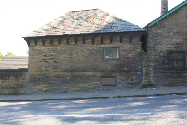
Image: © Roger Templeman Taken: 17 Jul 2017
There is an Ordnance Survey benchmark Image on the sill in the front face of the building near its right hand corner
Images are licensed for reuse under creativecommons.org/licenses/by-sa/2.0
Image Location
Latitude
53.815315
Longitude
-1.782015