Lane, Lovacott Green
Introduction
The photograph on this page of Lane, Lovacott Green by Derek Harper as part of the Geograph project.
The Geograph project started in 2005 with the aim of publishing, organising and preserving representative images for every square kilometre of Great Britain, Ireland and the Isle of Man.

There are currently over 7.5m images from over 14,400 individuals and you can help contribute to the project by visiting https://www.geograph.org.uk
Lane, Lovacott Green
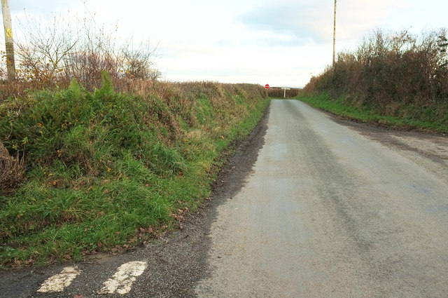
Image: © Derek Harper Taken: 1 Dec 2019
The lane shown in Image] is the hypotenuse of a right-angled triangle of lanes; the right angle is at the junction visible here in the distance. Both taken from more or less the same spot.
Images are licensed for reuse under creativecommons.org/licenses/by-sa/2.0
Image Location


Leaflet Map data © OpenStreetMap
Latitude
51.03228
Longitude
-4.110627