Sharp bend approaching Llanelli
Introduction
The photograph on this page of Sharp bend approaching Llanelli by Pan Dodd-Noble as part of the Geograph project.
The Geograph project started in 2005 with the aim of publishing, organising and preserving representative images for every square kilometre of Great Britain, Ireland and the Isle of Man.

There are currently over 7.5m images from over 14,400 individuals and you can help contribute to the project by visiting https://www.geograph.org.uk
Sharp bend approaching Llanelli
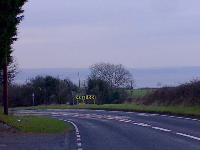
Image: © Pan Dodd-Noble Taken: 3 Jan 2008
This was taken on an overcast winter's day- With better visibility it's possible to see the North side of the Gower; at the apex of the bend there is a turning to Pen-y-fai Lane.
Images are licensed for reuse under creativecommons.org/licenses/by-sa/2.0
Image Location
Latitude
51.700676
Longitude
-4.177632