Barnwell Road subway
Introduction
The photograph on this page of Barnwell Road subway by John Sutton as part of the Geograph project.
The Geograph project started in 2005 with the aim of publishing, organising and preserving representative images for every square kilometre of Great Britain, Ireland and the Isle of Man.

There are currently over 7.5m images from over 14,400 individuals and you can help contribute to the project by visiting https://www.geograph.org.uk
Barnwell Road subway
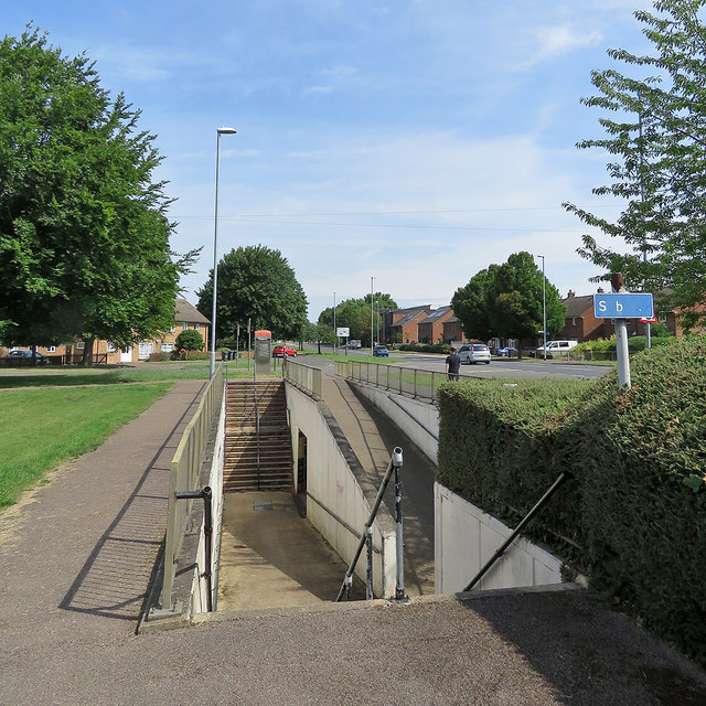
Image: © John Sutton Taken: 26 Jun 2020
The subway burrows under Barnwell Road, part of the busy Cambridge inner ring road (which runs north and south and cuts the estate in two), linking Rayson Way (left) to Peverel Road.
Images are licensed for reuse under creativecommons.org/licenses/by-sa/2.0
Image Location
Latitude
52.209656
Longitude
0.162722