Doomed Field and Bridleway
Introduction
The photograph on this page of Doomed Field and Bridleway by Glyn Baker as part of the Geograph project.
The Geograph project started in 2005 with the aim of publishing, organising and preserving representative images for every square kilometre of Great Britain, Ireland and the Isle of Man.

There are currently over 7.5m images from over 14,400 individuals and you can help contribute to the project by visiting https://www.geograph.org.uk
Doomed Field and Bridleway
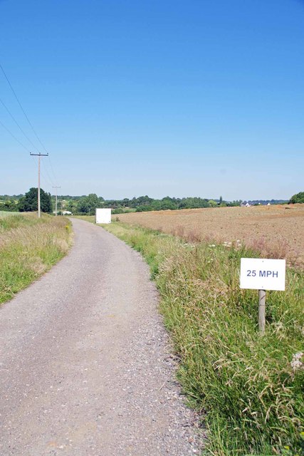
Image: © Glyn Baker Taken: 24 Jun 2020
The white trailer on the verge (a workers welfare van), fallow field and plethora of 25 MPH signs not to mention the Image seem to indicate the land between the bridleway and A120 will soon be a housing estate.
Images are licensed for reuse under creativecommons.org/licenses/by-sa/2.0
Image Location
Latitude
51.888302
Longitude
0.151473