Braikley Farmhouse
Introduction
The photograph on this page of Braikley Farmhouse by Andrew Wood as part of the Geograph project.
The Geograph project started in 2005 with the aim of publishing, organising and preserving representative images for every square kilometre of Great Britain, Ireland and the Isle of Man.

There are currently over 7.5m images from over 14,400 individuals and you can help contribute to the project by visiting https://www.geograph.org.uk
Braikley Farmhouse
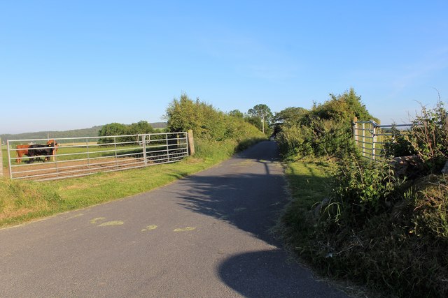
Image: © Andrew Wood Taken: 25 Jun 2020
The road to Braikley, signposted to the farmhouse this will lead to the farm too but the narrow nature would case heavy traffic to use the other entrance.
Images are licensed for reuse under creativecommons.org/licenses/by-sa/2.0
Image Location
Latitude
57.367533
Longitude
-2.236894