Waytemore Moat
Introduction
The photograph on this page of Waytemore Moat by Glyn Baker as part of the Geograph project.
The Geograph project started in 2005 with the aim of publishing, organising and preserving representative images for every square kilometre of Great Britain, Ireland and the Isle of Man.

There are currently over 7.5m images from over 14,400 individuals and you can help contribute to the project by visiting https://www.geograph.org.uk
Waytemore Moat
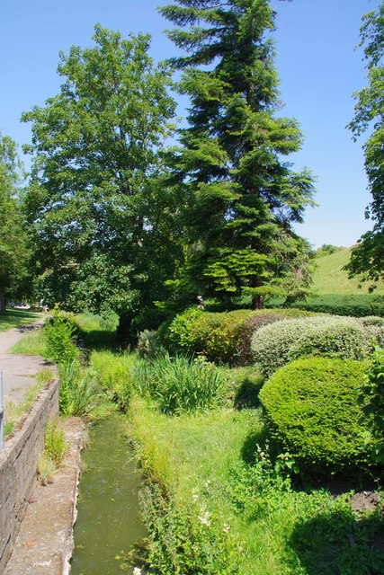
Image: © Glyn Baker Taken: 24 Jun 2020
The Eastern approach to Waytemore Motte & Bailey Castle is protected by Image This uninspiring ditch is probably the remains of the defences on the Western side.
Images are licensed for reuse under creativecommons.org/licenses/by-sa/2.0
Image Location
Latitude
51.871655
Longitude
0.161864