Ratcliffe Road, Thrussington
Introduction
The photograph on this page of Ratcliffe Road, Thrussington by Stephen McKay as part of the Geograph project.
The Geograph project started in 2005 with the aim of publishing, organising and preserving representative images for every square kilometre of Great Britain, Ireland and the Isle of Man.

There are currently over 7.5m images from over 14,400 individuals and you can help contribute to the project by visiting https://www.geograph.org.uk
Ratcliffe Road, Thrussington
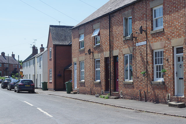
Image: © Stephen McKay Taken: 23 Jun 2020
Ratcliffe Road is seen here from its junction with Rearsby Road. The 'Ratcliffe' in question is Ratcliffe on the Wreake, about two miles away (not to be confused with Ratcliffe on Soar and its power station).
Images are licensed for reuse under creativecommons.org/licenses/by-sa/2.0
Image Location
Latitude
52.735953
Longitude
-1.040838