Benchmark on old stone at Cast Hills
Introduction
The photograph on this page of Benchmark on old stone at Cast Hills by Matthew Hatton as part of the Geograph project.
The Geograph project started in 2005 with the aim of publishing, organising and preserving representative images for every square kilometre of Great Britain, Ireland and the Isle of Man.

There are currently over 7.5m images from over 14,400 individuals and you can help contribute to the project by visiting https://www.geograph.org.uk
Benchmark on old stone at Cast Hills
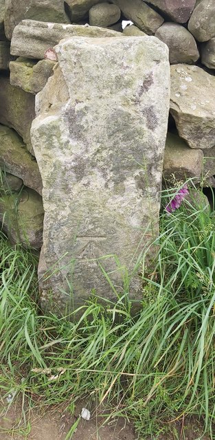
Image: © Matthew Hatton Taken: 20 Jun 2020
This is a late addition, as no BM is marked at this location on the old OS Maps, although it was recorded here by the Ordnance Survey Team in 1970.
Images are licensed for reuse under creativecommons.org/licenses/by-sa/2.0
Image Location
Latitude
54.140811
Longitude
-1.683571