The island on the levels
Introduction
The photograph on this page of The island on the levels by Neil Owen as part of the Geograph project.
The Geograph project started in 2005 with the aim of publishing, organising and preserving representative images for every square kilometre of Great Britain, Ireland and the Isle of Man.

There are currently over 7.5m images from over 14,400 individuals and you can help contribute to the project by visiting https://www.geograph.org.uk
The island on the levels
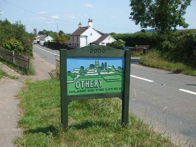
Image: © Neil Owen Taken: 23 Jun 2020
Othery stands on what is a prominent parcel of land in the middle of Somerset and this lends itself to the claim. The millennium sign is certainly three-dimensional.
Images are licensed for reuse under creativecommons.org/licenses/by-sa/2.0
Image Location
Latitude
51.077636
Longitude
-2.889265