Byway from Melverley to Edgerley
Introduction
The photograph on this page of Byway from Melverley to Edgerley by Jonathan Billinger as part of the Geograph project.
The Geograph project started in 2005 with the aim of publishing, organising and preserving representative images for every square kilometre of Great Britain, Ireland and the Isle of Man.

There are currently over 7.5m images from over 14,400 individuals and you can help contribute to the project by visiting https://www.geograph.org.uk
Byway from Melverley to Edgerley
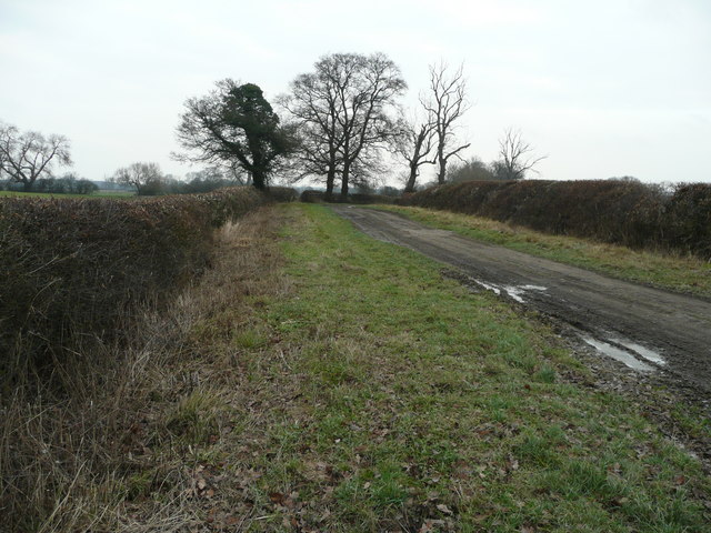
Image: © Jonathan Billinger Taken: 3 Jan 2008
Crossing River Severn floodplain near the Shropshire-Wales border.
Images are licensed for reuse under creativecommons.org/licenses/by-sa/2.0
Image Location
Latitude
52.757309
Longitude
-2.985478