Direction Sign ? Signpost
Introduction
The photograph on this page of Direction Sign ? Signpost by S Kosciow as part of the Geograph project.
The Geograph project started in 2005 with the aim of publishing, organising and preserving representative images for every square kilometre of Great Britain, Ireland and the Isle of Man.

There are currently over 7.5m images from over 14,400 individuals and you can help contribute to the project by visiting https://www.geograph.org.uk
Direction Sign ? Signpost
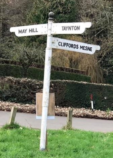
Image: © S Kosciow Taken: 2 Jan 2019
Located on the north side of the junction of Glasshouse Hill and Taynton Road in Taynton parish. 3 arms and ball finial. See also https://www.geograph.org.uk/photo/2842058 and https://www.geograph.org.uk/photo/549321. Milestone Society National ID: GL_SO7021
Images are licensed for reuse under creativecommons.org/licenses/by-sa/2.0
Image Location


Leaflet Map data © OpenStreetMap
Latitude
51.890032
Longitude
-2.423228