Damaged benchmark on wall pier at lodge entrance to Bradford Grammar School
Introduction
The photograph on this page of Damaged benchmark on wall pier at lodge entrance to Bradford Grammar School by Roger Templeman as part of the Geograph project.
The Geograph project started in 2005 with the aim of publishing, organising and preserving representative images for every square kilometre of Great Britain, Ireland and the Isle of Man.

There are currently over 7.5m images from over 14,400 individuals and you can help contribute to the project by visiting https://www.geograph.org.uk
Damaged benchmark on wall pier at lodge entrance to Bradford Grammar School
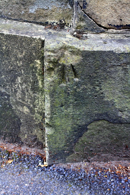
Image: © Roger Templeman Taken: 13 Jul 2017
Ordnance Survey rivet benchmark shown on 1959 Map as levelled at 123.3m above Newlyn Datum. See www.bench-marks.org.uk/bm28192
Images are licensed for reuse under creativecommons.org/licenses/by-sa/2.0
Image Location
Latitude
53.812413
Longitude
-1.768665