Mound in the Dropshot Farm pasture
Introduction
The photograph on this page of Mound in the Dropshot Farm pasture by Philip Jeffrey as part of the Geograph project.
The Geograph project started in 2005 with the aim of publishing, organising and preserving representative images for every square kilometre of Great Britain, Ireland and the Isle of Man.

There are currently over 7.5m images from over 14,400 individuals and you can help contribute to the project by visiting https://www.geograph.org.uk
Mound in the Dropshot Farm pasture
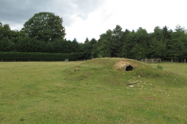
Image: © Philip Jeffrey Taken: 20 Jun 2020
Presumably some sort of shelter related to Turweston Airfield across the road
Images are licensed for reuse under creativecommons.org/licenses/by-sa/2.0
Image Location
Latitude
52.050095
Longitude
-1.088692