Flood bank at Colwick Country Park
Introduction
The photograph on this page of Flood bank at Colwick Country Park by Alan Murray-Rust as part of the Geograph project.
The Geograph project started in 2005 with the aim of publishing, organising and preserving representative images for every square kilometre of Great Britain, Ireland and the Isle of Man.

There are currently over 7.5m images from over 14,400 individuals and you can help contribute to the project by visiting https://www.geograph.org.uk
Flood bank at Colwick Country Park
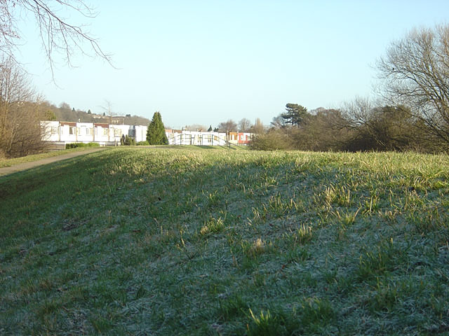
Image: © Alan Murray-Rust Taken: 6 Jan 2008
The whiteboarded houses are part of the Candle Meadow estate.
Images are licensed for reuse under creativecommons.org/licenses/by-sa/2.0
Image Location
Latitude
52.952493
Longitude
-1.095296