Path on the edge of the estate
Introduction
The photograph on this page of Path on the edge of the estate by Bill Boaden as part of the Geograph project.
The Geograph project started in 2005 with the aim of publishing, organising and preserving representative images for every square kilometre of Great Britain, Ireland and the Isle of Man.

There are currently over 7.5m images from over 14,400 individuals and you can help contribute to the project by visiting https://www.geograph.org.uk
Path on the edge of the estate
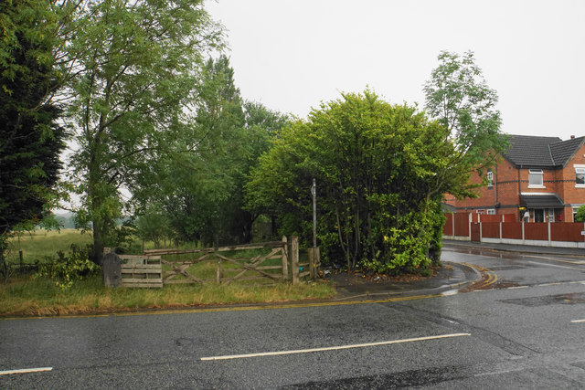
Image: © Bill Boaden Taken: 15 Jun 2020
Dewberry Close to the right is the furthest the housing has extended so far on the eastern side of Mort Lane. The path goes towards Stone House Farm and eventually Ellenbrook.
Images are licensed for reuse under creativecommons.org/licenses/by-sa/2.0
Image Location
Latitude
53.515224
Longitude
-2.437901