Goodrington Road
Introduction
The photograph on this page of Goodrington Road by jeff collins as part of the Geograph project.
The Geograph project started in 2005 with the aim of publishing, organising and preserving representative images for every square kilometre of Great Britain, Ireland and the Isle of Man.

There are currently over 7.5m images from over 14,400 individuals and you can help contribute to the project by visiting https://www.geograph.org.uk
Goodrington Road
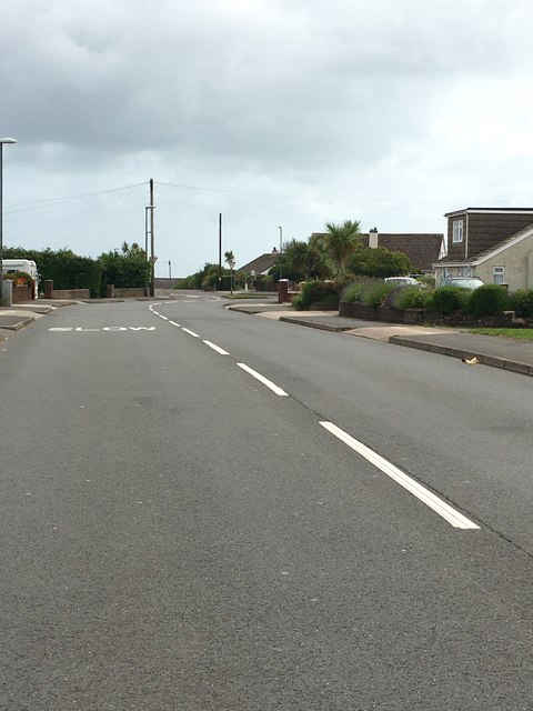
Image: © jeff collins Taken: 21 Jun 2020
Bit of a rat run connecting the Dartmouth road and the Brixham road.
Images are licensed for reuse under creativecommons.org/licenses/by-sa/2.0
Image Location
Latitude
50.414778
Longitude
-3.576183