On Guiltree Earthwork
Introduction
The photograph on this page of On Guiltree Earthwork by Mary and Angus Hogg as part of the Geograph project.
The Geograph project started in 2005 with the aim of publishing, organising and preserving representative images for every square kilometre of Great Britain, Ireland and the Isle of Man.

There are currently over 7.5m images from over 14,400 individuals and you can help contribute to the project by visiting https://www.geograph.org.uk
On Guiltree Earthwork
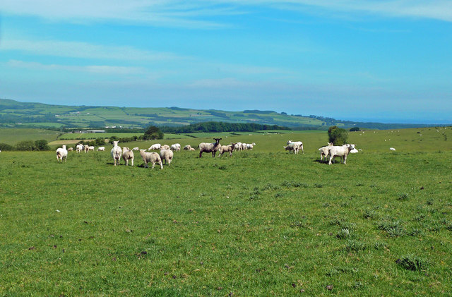
Image: © Mary and Angus Hogg Taken: 18 Jun 2020
The earthwork shown on the Explorer Map at Guiltree Hill is described in the OS name book of 1857. The site is roughly circular about 100 metres across with a protective ditch. The features are still visible but have been smoothed over by centuries of cultivation. It lies on the top of a drumlin with good all-round visibility. When the ground was first ploughed up at the start of the 19th century, part of an old spear was found and other fragments have been turned up since then. The site is believed to belong to the Roman period and is quite close to the old Roman Road connecting Galloway with Ayr. See Image The sheep are blissfully unaware of the historical significance of their grazing land.
Images are licensed for reuse under creativecommons.org/licenses/by-sa/2.0
Image Location
Latitude
55.36503
Longitude
-4.599976